Geomatics is a rapidly expanding branch of geography, with concrete applications in areas such as healthcare planning, epidemiology, criminology, defence and security, disaster management, environmental and resource monitoring and urban planning. From producing more efficient transit schedules to mapping disease outbreaks or assessing the seismic or health risks associated with our built environments, geomatics plays an essential role in supporting decision makers.

Geomatics and Spatial Analysis
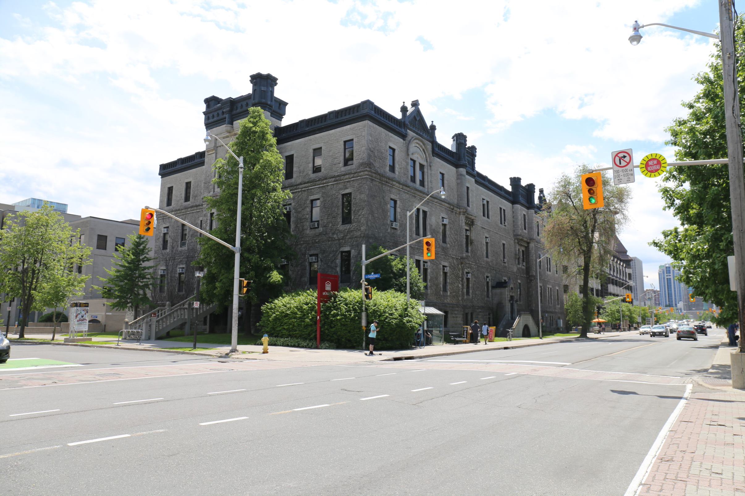
Program overview
DURATION
LOCATION
LANGUAGE
OPTIONS
Why choose this program

Advanced Technical Skills: You will develop strong proficiency with essential geomatics tools such as GIS, remote sensing, GPS, digital mapping, and spatial analysis. These skills are crucial for interpreting geographic data, monitoring environmental change, and managing natural disaster situations.
Flexible and Interdisciplinary Program: The minor integrates easily into most BA and BSc programs within the Faculty of Arts, allowing you to personalize your academic path based on your interests. You will take courses in geography, computer science, mathematics, statistics, cartography, and geospatial technologies, while adding a recognized specialization that will appear on your official transcript.
Diverse Career Opportunities: Prepare for a wide range of professional pathways, including GIS analyst, remote sensing specialist, geomatics technician, or environmental analyst. Graduates gain the scientific knowledge and technical skills needed to become leaders in these rapidly growing fields.
Critical Spatial Thinking Development: Develop your ability to critically analyze spatial patterns and processes by integrating concepts from human and physical geography. You will learn to assess data reliability, interpret complex spatial relationships, and evaluate the environmental and social factors that shape landscapes with scientific rigor.
Program structure
Browse program options
The Minor in Geomatics and Spatial Analysis allows students to develop exceptional spatial analysis and mapping skills through the use of hands-on computer technologies. Human and physical geography courses are taken to develop the ability to think critically about spatial phenomena, while core computer science courses are given to enhance the skills needed to manage and analyze spatial data. Students acquire advanced abilities to utilize computer-based mapping technologies, including Geomatics, Geographical Information Systems (GIS) and Remote Sensing, in order to solve pressing spatial issues, both environmental and human in nature.
Opportunity to acquire a solid foundation while following a Specialization or a Major in another discipline.
Must be taken in addition to a main program.
Admission requirements and deadlines for Geomatics and Spatial Analysis
After your studies

After completing your undergraduate studies in your primary field (for example, an Honours BA in Environmental Studies or Geography) with your minor in the Geomatics and Spatial Analysis, you have two main paths to consider: continuing your studies with or entering the workforce.
You may choose to pursue graduate studies in your main field, such as a Master’s degree (MA), to deepen your knowledge and develop advanced research, analytical, and critical‑thinking skills. A research‑based MA is ideal if you wish to specialize in a specific area or eventually pursue a PhD.
You may also decide to enter the job market directly. Your degree can lead to a variety of careers in fields such as Land Surveyor, Environmental officer, Cartographer, Urban planner and Urban geographer. These opportunities allow you to apply your skills in programming and complex problem solving in real-world settings.
Whether you choose to continue your studies or transition into the workforce, your degree provides a strong foundation for building a career related to the field of Geomatics and Spatial Analysis.
Tuition and fees
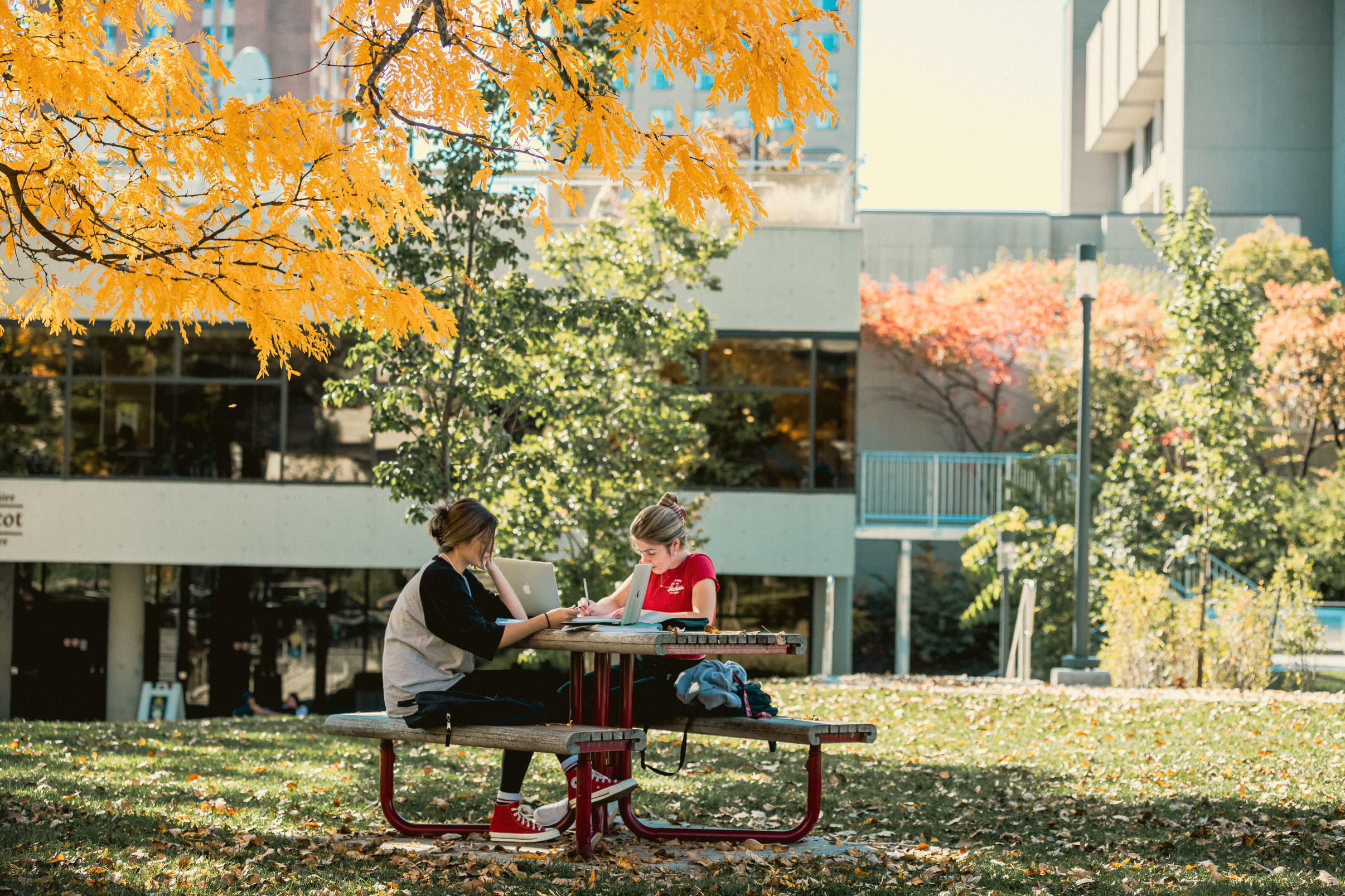
Student experience
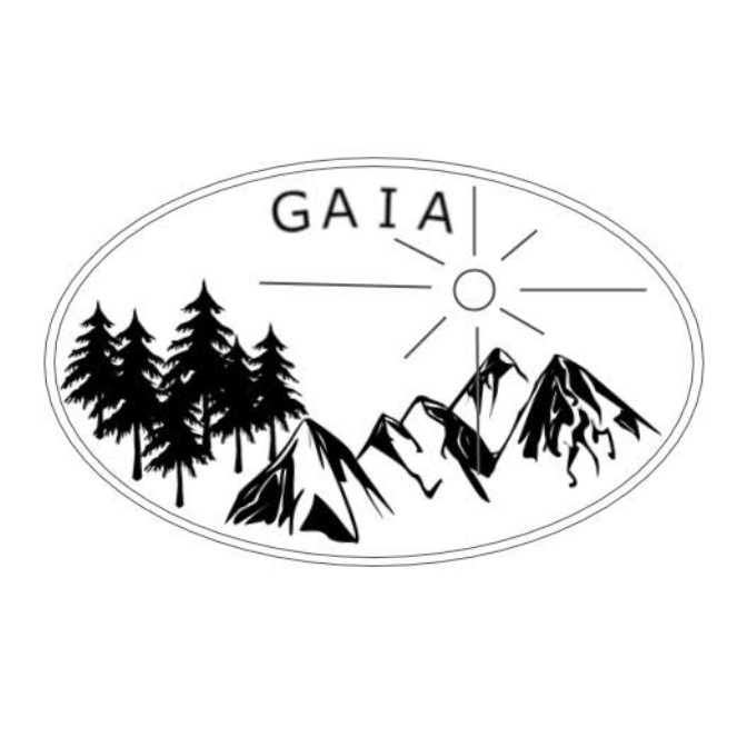
Undergraduate Students Association GAIA
Gaia is the Geography, Environment and Geomatics Student Association. We are here to serve and represent the student bodies of these programs and to help better your university experience.
“Gaia“ (pronounced guy-a), according to Greek Mythology, is the goddess of the Earth. James Lovelock used the term in the 1970s to describe the earth as a living, self-regulating organism.
“Gaia“ (pronounced guy-a), according to Greek Mythology, is the goddess of the Earth. James Lovelock used the term in the 1970s to describe the earth as a living, self-regulating organism.
Student Association of the Faculty of Arts (SAFA)
SAFA represents the interests of undergraduate students of the Faculty of Arts within the UOSU, the Faculty, the University, the community, and the provincial and federal governments. The students’ association also works to foster a sense of community through social, academic, and cultural events, while at the same time offering a variety of services to its members.

Geography Graduate Students Association GGSA
The GGSA is a departmental organization responsible for supporting and representing graduate students in the Department of Geography, Environment and Geomatics at the University of Ottawa. We allow the voices of graduate students to be heard by sitting in and voting at department assemblies. We also organize social events to encourage human geographers, physical geographers, and geomatics specialists to interact with and learn from each other.
Need help?
Contact us
Question about this program? We are here to help!

Meet our student recruitment officer
Does the transition to university seem a bit intimidating?
Book an appointment with our student recruitment officer